Bulging dam just a quirk of Google Earth


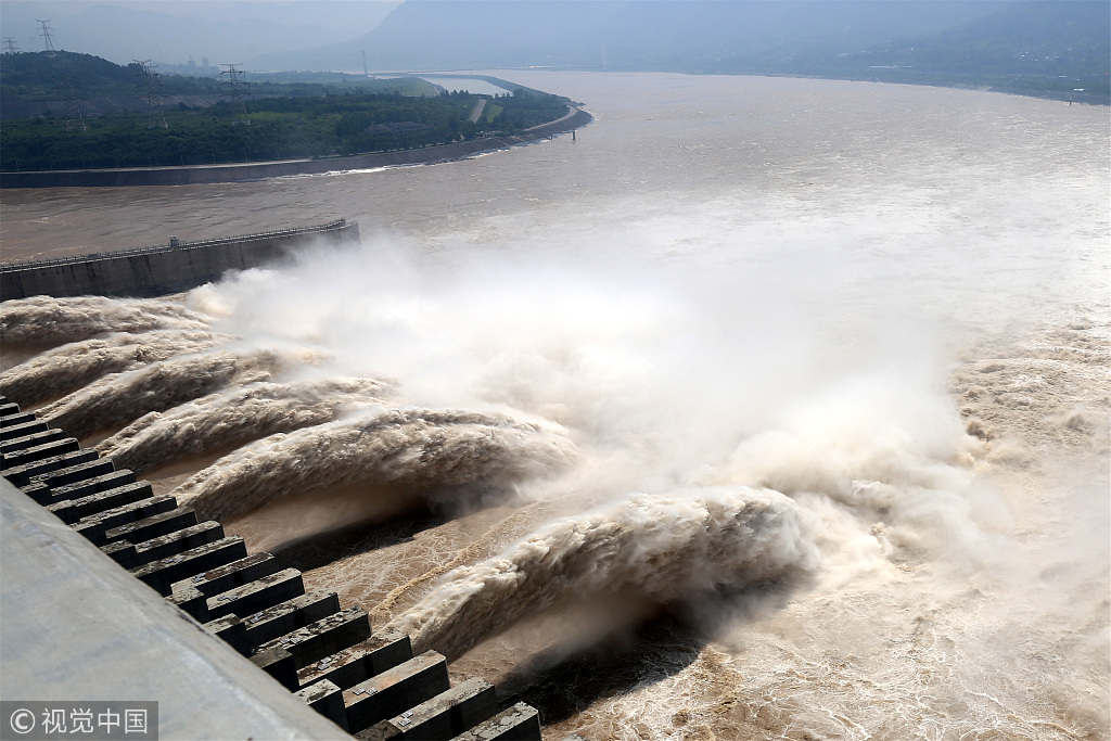
Editor's note: Citing Google Earth's high precision map of the largest dam in the world as evidence, some people claim that the Three Gorges Dam in the middle reaches of the Yangtze River is already seriously deformed, and is thus on the brink of breaking. Mao Xiaoping, a researcher in energy science at the China University of Geosciences, counters the claims in an article published by Beijing News on Thursday:
Using Google Earth and the naked eye to analyze a large-scale structure's possible deformation is nothing but using a rough guess to solve complicated civil engineering problems.
True, the resolution of Google Earth's map can reach 0.5 meters, which means a human's shadow on the ground can be distinguished on the map. But the map is based on a digital elevation model so that its map has a pleasant strong three-dimensional visual effect, which appeals to viewers.
According to the model and Google Earth's practice, it divides the surface of the earth into 30 meter by 30 meter grids. However, each grid, 900 square meters, corresponds to a single set of elevation data, which is a result of calculation and reckoning, not actual measurement. It means Google Earth's map is a de facto combination of satellite photos and reckoned elevation data, which should be termed as "quasiactual and quasi-virtual landscape images", which is not precise at all and should not be used as a reference for a structure's integrity. In fact all the structures on Google Earth are deformed from their actual state.
Moreover, to ensure that the maps can only be used for civil purposes, it is a convention for map publishers, including Google Earth, to skew the images on the map. So Google Earth's map compounds "errors", and no professionals would use it to conduct rigorous research.
All large structures deform under certain temperatures and pressure. Once the external forces disappear, the structure will regain its original shape soon, which can be called "elastic deformation". This is normal and cannot be avoided. The top of a skyscraper can depart from its position by dozens of centimeters in a strong wind or earthquake. Which does not mean it is endangered as long as it can regain its position afterwards.
The real concern for a dam's deformation is in fact not caused by transverse pressure of the water, but the structure's vertical subsidence, because it is a dam heavy for its foundation. But surveys show Three Gorges Dam is in perfect shape, and any transverse and vertical deformations are within normal range.